
AREAS OF FOCUS
-
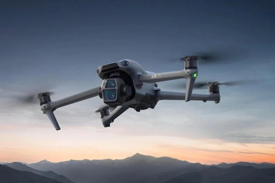
Aerial Imaging & Videography
We capture high-resolution aerial photos and videos that bring new perspectives to your projects. Whether you’re showcasing real estate, documenting construction progress, creating marketing content, or simply wanting a bird’s-eye view, our imaging services combine creativity with technical precision to deliver clean, impactful visuals.
-
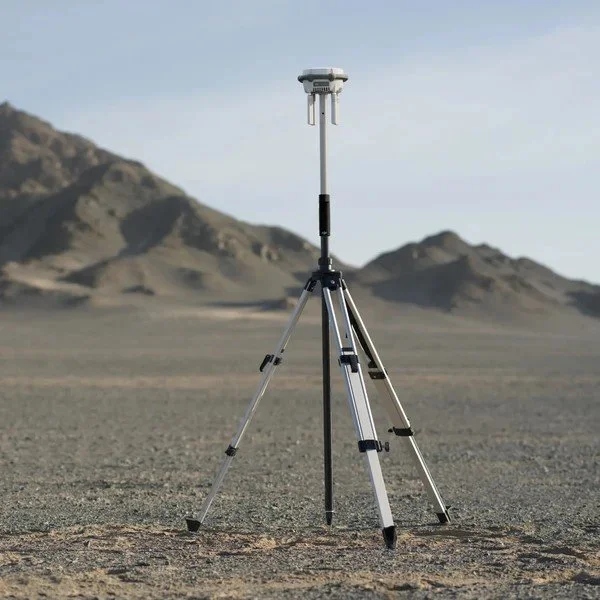
Mapping and Modeling
Accurate aerial data turned into orthomosaics, point clouds, and 3D models. Ideal for land mapping, construction planning, or site monitoring to support smarter decision-making. Using advanced drone technology, we produce precise maps and 3D models for construction sites, land development, agriculture, and environmental projects—helping reduce time in the field while increasing accuracy without the cost of traditional surveying methods.
-
Solar and Infrastructure Inspection Services
Pinpoint performance issues in solar panels, roofs, and utilities with thermal hotspot detection. Drones safely inspect hard-to-reach areas, reducing downtime and risk. Fast, cost-effective, and backed by accurate reporting.
-

Custom Projects
Got a creative idea or unique challenge? If it can be flown, we’ll find a way to bring it to life. From specialty events to one-off aerial solutions, our team adapts drones to fit your vision.
Industries We Serve
Agriculture – Crop monitoring, irrigation assessments, and land analysis.
Construction & Development – Progress tracking, site mapping, and aerial surveys.
Oil & Energy – Equipment inspections, infrastructure monitoring, and safety assessments.
Real Estate & Marketing – Eye-catching visuals that make properties stand out.
Public Agencies & Utilities – Asset inspections and land management from a safer, elevated perspective.
With a strong foundation in local industry and years of hands-on experience, Phenix Drone delivers the reliable aerial services you need to keep your projects moving forward—accurately, efficiently, and with a clear view from above.